.jpg)
The latest from Jicate
News, announcements, and updates from across the company.
Read Jicate ExplainedHarness the power of satellite constellations to empower decision-makers on Earth
Request a Demo01
MetaConstellation brings hundreds of satellites to bear on your most complex problems
Integrate with a mesh of existing satellites
Optimize hundreds of orbital, terrestrial, and aircraft sensors, and AI models
Enable users to ask time-sensitive questions across the entire planet
02
When a request comes in, MetaConstellation works out which sensors are available, and the constellations collaboratively schedule coverage over the area.
MetaConstellation integrates with sensor constellations, so users can request collection without the complexity of orchestrating many satellites by hand.
Users request insight, not raw data. Ask a real-world question and MetaConstellation determines the optimal mix of sensors to answer it.
03
Add Edge AI to satellite sensors and Micro Models can identify objects of interest within a defined area — reconfiguring the orbiting satellite on the fly as the mission changes.
MetaConstellation leverages CI/CD AI model pipelines to find the best-fit algorithm for each user question, on every single collection.
Users never start with raw sensor data — they start with algorithmic insight from that data, whether in space or time.
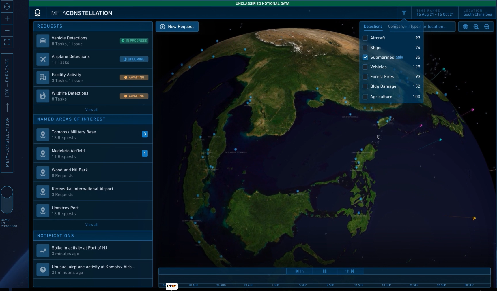
04
Harness the MetaConstellation by identifying and integrating with existing satellites to power more insight.
Use AI-deployed sensors to task and track satellites across wide areas. As objectives evolve, feedback is received and models are retrained.
Through tasking and tracking, MetaConstellation integrates with other satellites to collect imagery over areas of interest, measure changes over time, and trigger more focused imaging.
05
In under a second, the models process imagery, detect and geolocate objects, and determine any movement since the last collection pass — enabling rapid decision-making.
Leveraging Jicate Edge AI technology, MetaConstellation deploys algorithms closer to the sensors — on board satellites or at ground stations.
Edge-deployed algorithms identify the most relevant subsets of the sensor data, and selectively send that data to decision-makers much more rapidly.
06

Participants in a global information-dominance experiment used MetaConstellation to monitor locations across the globe for indications of competitor activity.